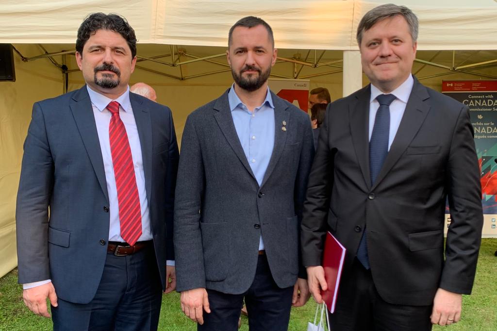
Director General of UGS Roman Opimakh participated in the Alberta Energy Mission to Poland, organized by the Embassy of Canada in Poland and the government of the province of Alberta. Diplomatic representatives, the Polish government, and more than 25 energy companies from the province of Alberta, Poland and Ukraine discussed business cooperation regarding the prospects of oil and gas production, energy efficiency, energy transition, clean technologies, operation of electric networks.
«During the meeting with the Department of Matural Resources of Canada, we underlined the positive experience of cooperation in the past between Ukraine and Canada under the GeoMap-200 project to create the National Geological Map of Ukraine on a scale of 1:200,000, which became the basis for forecasting, searching and exploration of all types of minerals», – said Roman Opimakh, the Director General of UGS.
Thanks to cooperation under the «GeoMap-200» project, it was possible to digitize in 2018 a part of the legacy geological information, which was also used later to became a part of the National Geological Web Portal. In 2021, the UGS began a large-scale program to scan geologic reports. 35% of the 180,000 storage units have already been digitized. The goal is to digitize and place all available geological information online. Ukraine invites the Alberta Energy Regulator to become a part of the project to digitize the geological sector of Ukraine and pertucularly to support the development of a 3D geological map.
The continuation of the digitization of secondary geoinformation and the expansion of the functionality of the National Geological Web Portal became the goal of the Memorandum with the EBRD on technical assistance concluded on November 16, 2022 in Brussels. According to its results, an agreement will be concluded, which provides for the digitization of 5,000 books of geological reports already this year.
As part of the «GeoMap-200» project, with the support of the Canadian government, seven sheets of Geomap-200 were transferred to GIS and posted online. Letters are prepared in Ukrainian and English. The format allows you to download files in GeoPDF format from the site, and work with the map in Acrobat Reader using some GIS functions – manage layers, get information about individual objects, measure areas and distances, determine the coordinates of arbitrary points on the map.
The «GeoMap-200» project was implemented within the framework of the Implementation Agreement concluded in accordance with the Memorandum of Understanding signed in 2016 between the Department of Natural Resources of Canada and the Ukrainian Geological Survey. Geoinform of Ukraine was the contractor of the project.